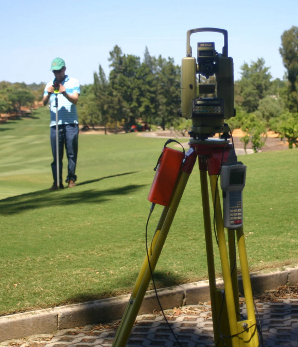
Topography
Services

Who am I
- Topographic plans - Planimetry and altimetry - various scales
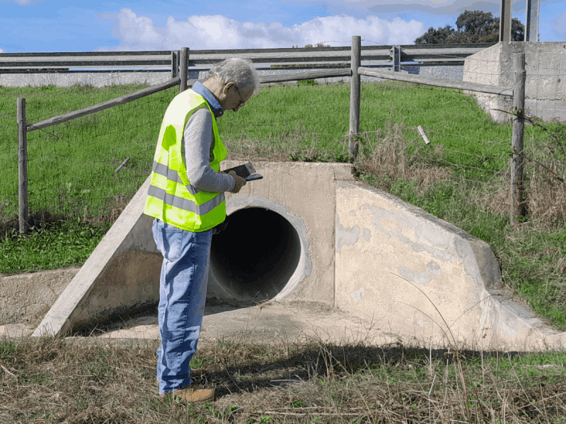
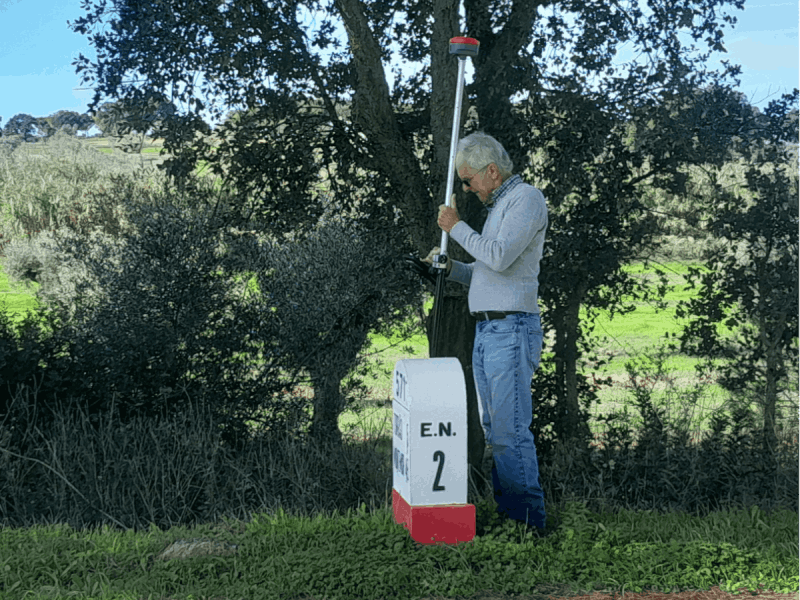
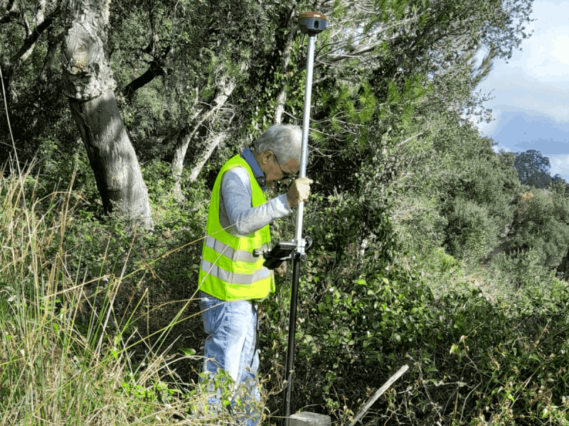
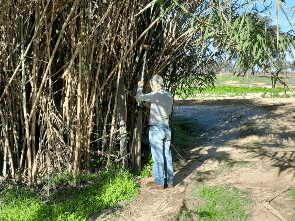
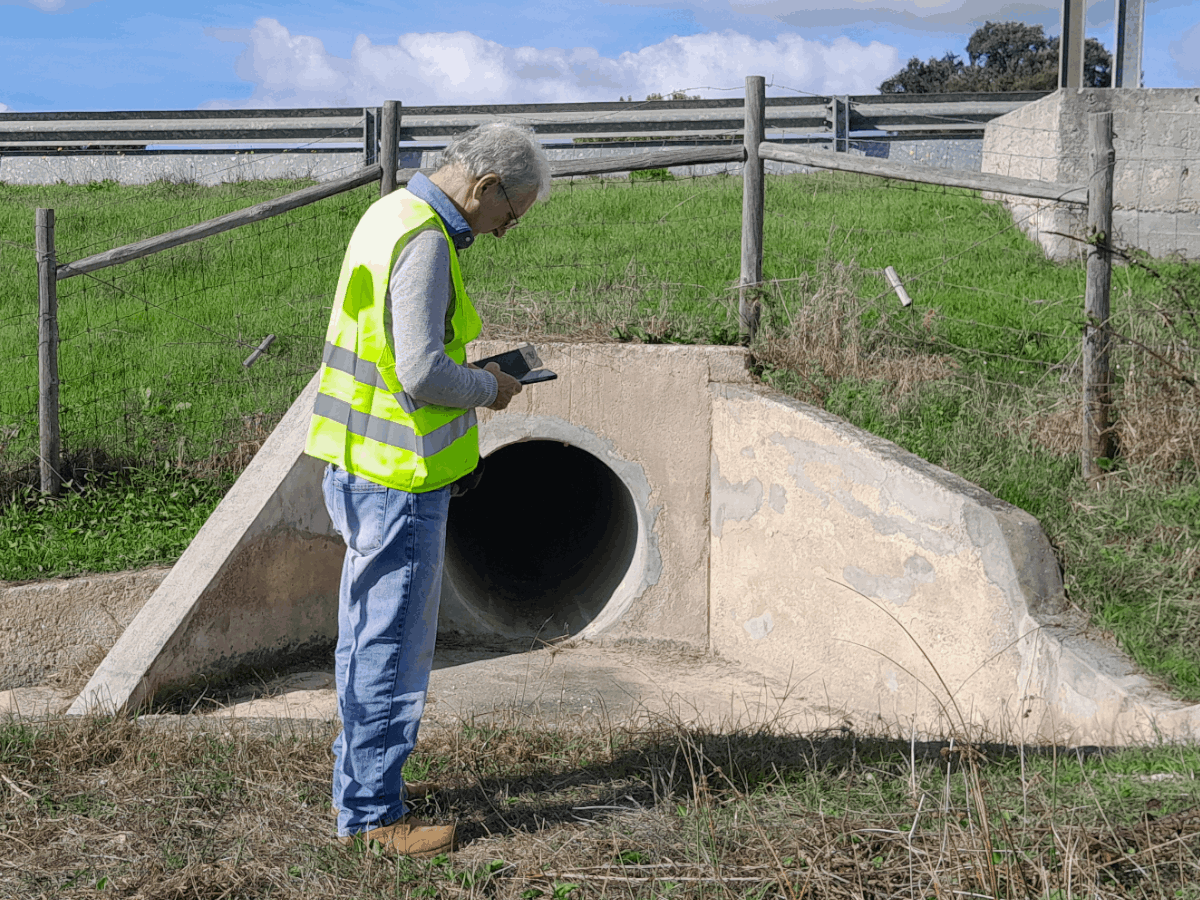
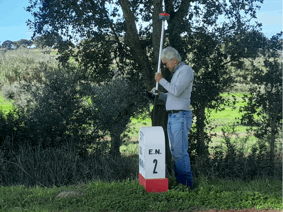
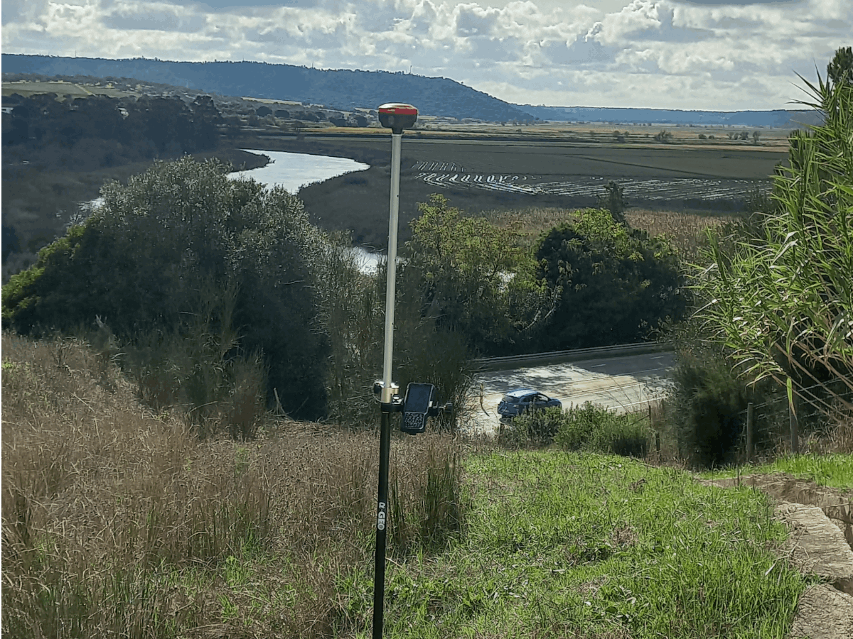
- Topographic Surveys to Classic and GPS
- Execution of topographic plans of rustic and urban buildings
- Topographic Support for Architecture and Engineering Projects
- Calculation of volumes and land movement
- Execution of longitudinal and transverse profiles
- Elaboration of Land Registry
- IMI Updates
- Measurement of areas and Certification of areas
- Allotment plans - listed and coordinated
- Verification of area chart
- Stakeout / Batch Deployment
- Support to the project (Allotment and infrastructures)
- Execution of final screens of urbanization works:
(Road network, domestic sewage and rainwater network, water supply network,
telephone network)
- Georeferencing of Topographic Works.
(Connection to the national geodetic network, based on the
georeference system PT-TM06 / ETRS89)
- Information for updating GIS
Equipment
KQ Geo brought together the best of GPS technology to manufacture the M8. The powerful BD970 board + KQ Geo antenna + data card + firmware formed a set capable of surpassing current equipment on the market.
It is modern, state-of-the-art equipment with “all” constellations already enabled, while other brands do not
Better signal reception quality and fixed solution
It has the largest capacity battery on the market, with capacity for 12 hours of tracking with just one battery
It has 8 GB of internal memory
Voice command in Portuguese (the equipment speaks)
It has internal radios with a range of more than 10 KM (in ideal conditions), in the Pacific Crest standard (works integrated with other brands and models)
Features powerful Field Genius software
Works with UHF, GSM, GPRS, NTRIP
Complete kit with external radio included
Copyright 2024
All Rights Reserved